Lee Lane CIL Bid
By Rich House 29 May 2020 (Updated with map use clarification 8 Jun 2020)
Romsey Cycle Hub have today submitted a Community Infrastucture Fund (CIL) bid to improve Lee Lane and Station Rd (the one in Nursling not Romsey) up to Dairy Lane to Test Valley Borough Council (TVBC). The bid reflects our aspirations. We will be working closely with TVBC to flesh out the bid in terms of costs and feasibility over the coming months.
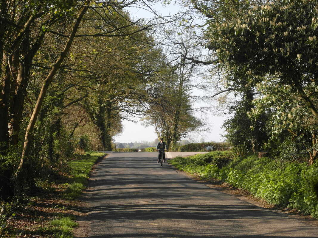
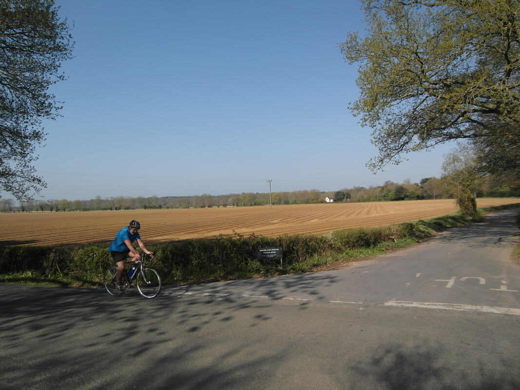
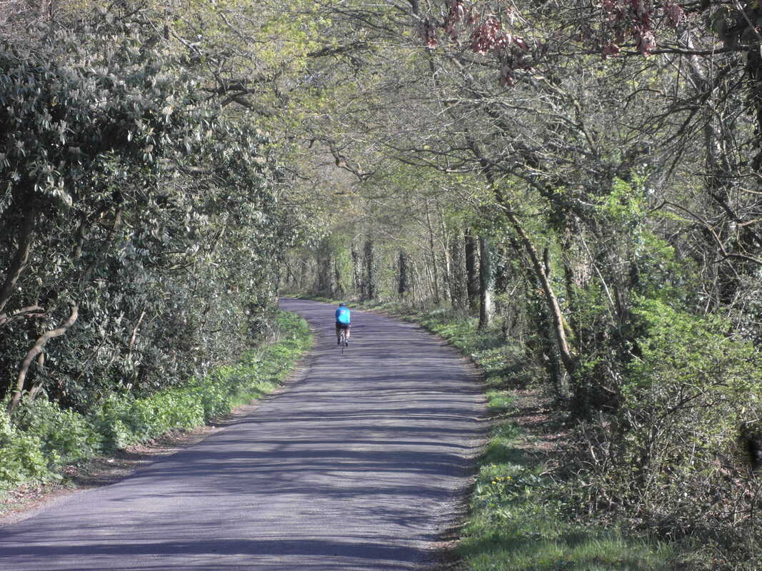
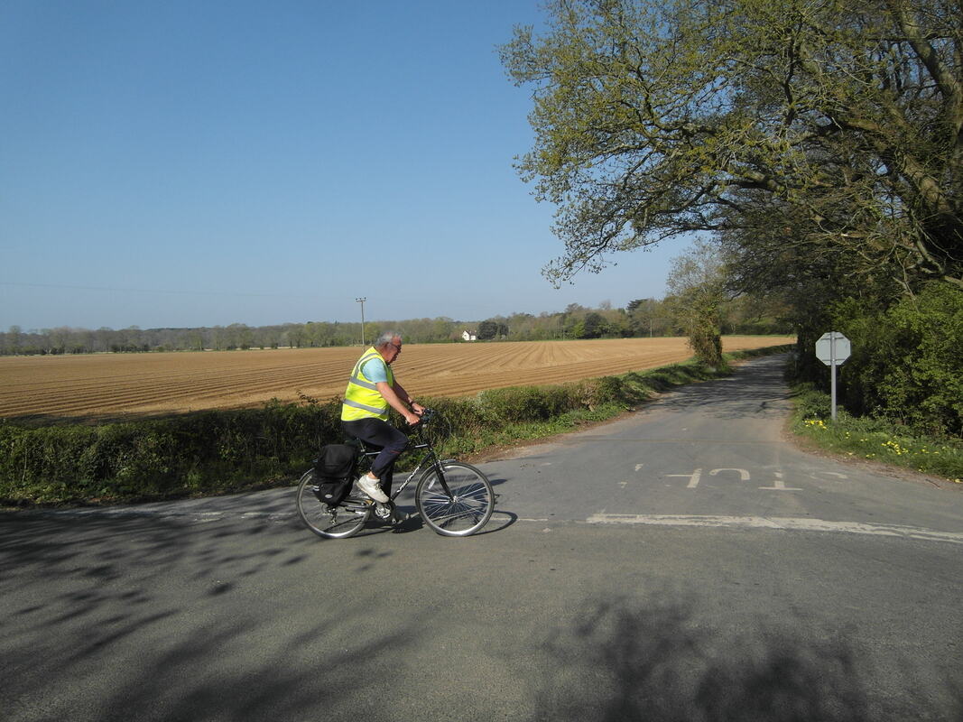
Lee Lane/Station Rd is a popular, flat & scenic route for cyclists traveling between Romsey & Southampton. The route connects the new planned shared path along Southampton Rd (funded in the 2018 CIL bid) to the planned Southampton Cycle Network SCN 2 route at Dairy Lane.
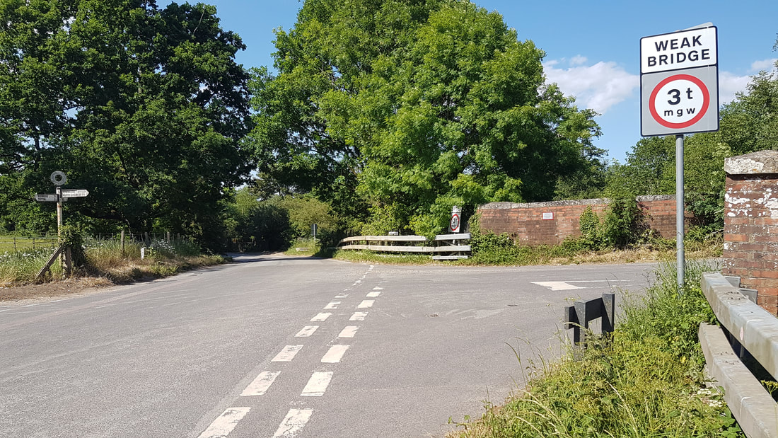
Fast traffic, poor surfaces & poor lines of sight along narrow sections can deter less confident cyclists. This scheme will improve safety which should increase the numbers choosing to cycle. The scheme includes: measures to slow & reduce motor traffic; improvements to the surface; signs & road markings to warn traffic of cyclists at dangerous places & signs to encourage cyclists to use this route as a safe scenic option.
Cycling improves mental & physical health, reduces congestion, lowers carbon emissions & attracts visitors. The lane is frequently used by walkers – the scheme will significantly improve their safety and ability to enjoy its beautiful countryside.
If you have any feedback or additional suggestions for improving the route or Lee Lane Cycling experiences you'd like to share we'd love to hear from you.
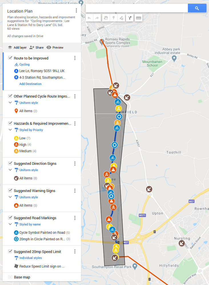
Location Map
The Location Plan below indicates specific hazards and includes requirements for reducing their risk for consideration by TVBC & HCC experts, along with some suggested solutions. Their feasibility, cost, funding and design options are best evaluated by these experts.
Click on a circle symbol on the map to see more info about it. Zoom in using your mouse wheel or the plus and minus buttons to see more detail with less clutter. Turn layers on or off by unticking or reticking them. Drag the mouse to pan around the map.
Click on a circle symbol on the map to see more info about it. Zoom in using your mouse wheel or the plus and minus buttons to see more detail with less clutter. Turn layers on or off by unticking or reticking them. Drag the mouse to pan around the map.
Bid Form & Supporting Documents
Click the buttons below to see the bid form and its 9 referenced documents or go to our Google Drive folder to see all the documents, photos and supporting information.
Some Photos of Our Scenic Cycle Route