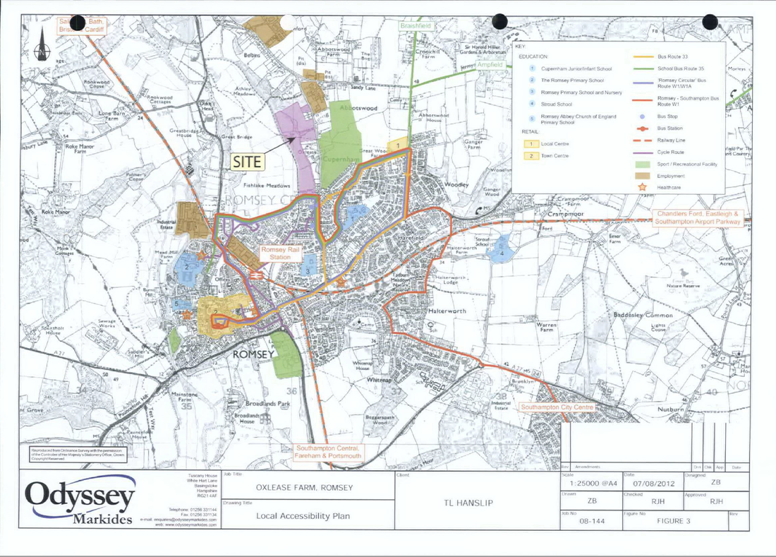
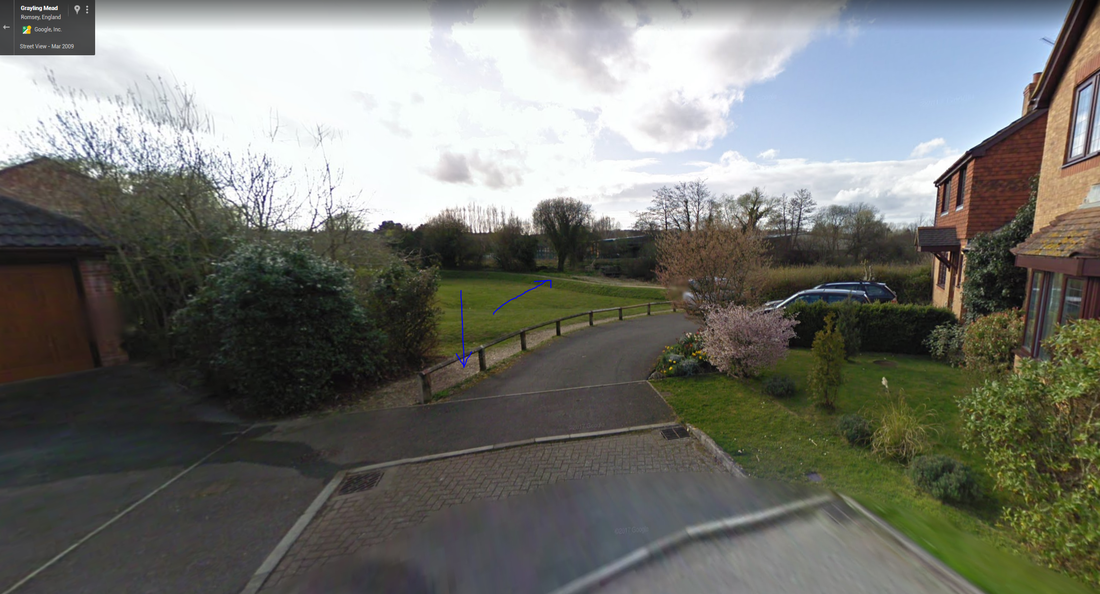
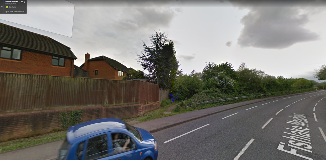
TVBC Planning Application 17/02183/OUTs Land West of Cupernham Lane and Planning Application 14/00204/OUTS Oxlease Farm both say in their there is an existing "key cycle route between Fishlake Meadows and Romsey School". This is shown in purple on the Local Accessibility Plan map below. This is important to the applications as new developments must support sustainable travel. Children in the new developments should be able to get to school safely by bike. However the route is not complete. It also includes paths where cycling is prohibited with no cycling signs. Many of the paths are designed for just pedestrians and unsuitable for cyclists.
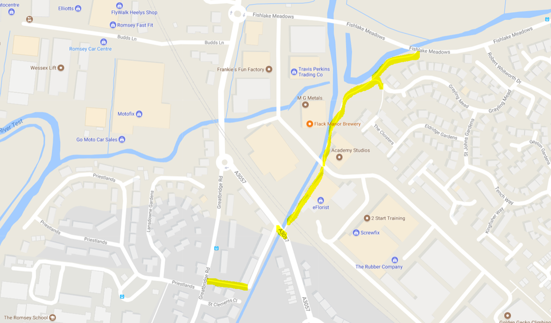
The problem parts are shown in yellow on the Google map extract below.
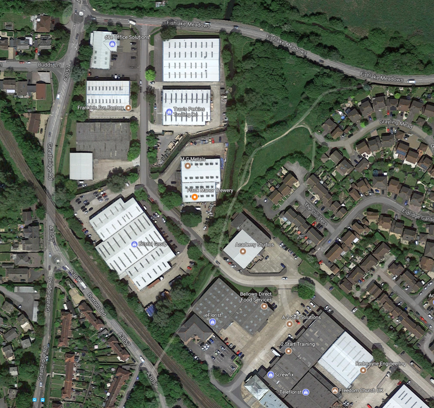
The Duttons Road crossing which forms part of the purple route is particularly dangerous for cyclists and pedestrians as it is a very busy road and the crossing is on a curve. A lollipop person once helped children cross here, but this has been discontinued. Funding should be sought from the developers to add a Toucan crossing here. Funding should also be sought from developers to upgrade the problem paths to allow cycling.
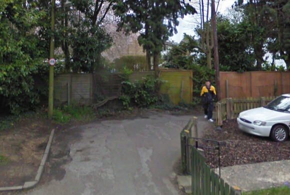
The paths through the Industrial Estate are footpaths, with some narrow and just shingle.
|
|
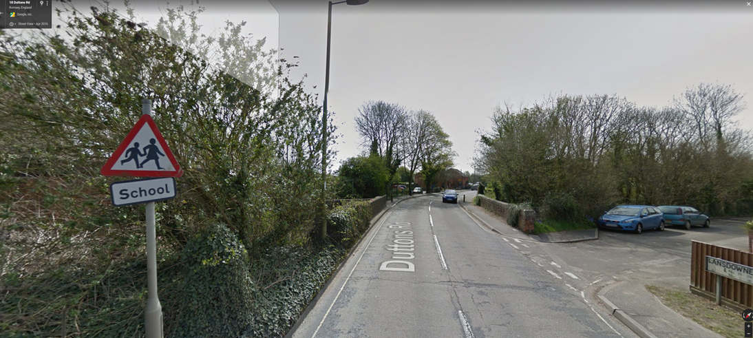
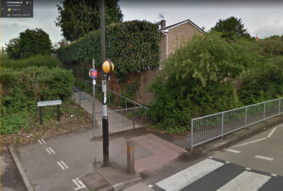
The path from Landsdowne Close prohibits cycling...
|
|
